Do You Know Your Evacuation Zone?

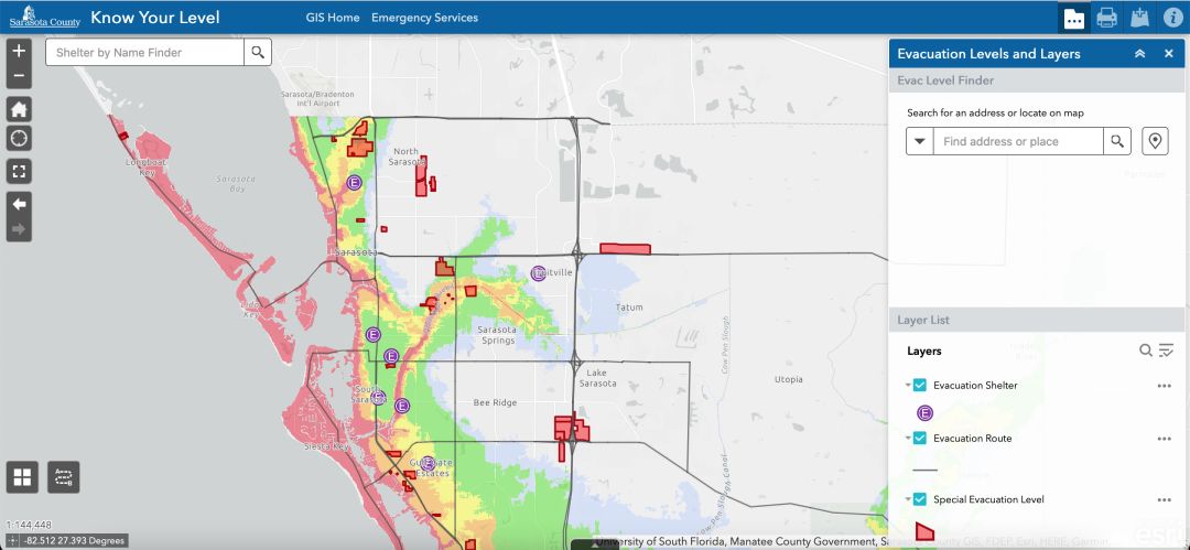
With Sarasota County's tool, you can type in your address to find information about your evacuation level, shelters and more.
Image: Courtesy Photo
Hurricane season runs from June 1-Nov. 30 every year—and as climate change creates more quick-forming, powerful storms, it's important to be prepared.
Sarasota County Emergency Services has put together an interactive "Know Your Level" map that lists evacuation zones, evacuation routes, shelters and hospital locations. Enter your address and the county will show you that information based on your location, as well as information about how storm surge could affect your home or business.

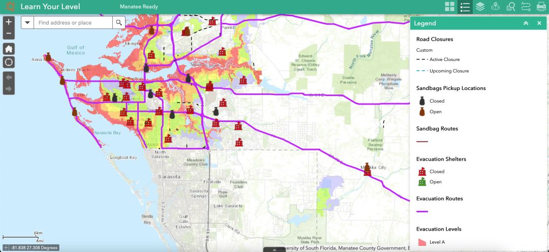
Manatee County's evacuation levels tool is similar to Sarasota County's.
Image: Courtesy Photo
Similarly, Manatee County also proves a "Learn Your Level" tool for residents, which also lists evacuation levels and zones, evacuation routes, shelters, sand bag pick-up locations and more.
Evacuation levels are not the same as flood zones and do not correlate to the category of a hurricane. All residents and visitors in mobile homes, manufactured homes, RVs or travel trailers must evacuate when hurricane evacuation Level A is issued, regardless of where you're located.
In both counties, evacuation levels change as new data becomes available and as the coastline changes, so residents should check their level ever year.
For more information about hurricane preparedness, visit Sarasota County Emergency Services or MyManatee.


